Exploring Geoscience through Deep Learning
Within the expansive domain of geoscience, the convergence of deep learning and technology has ignited a profound exploration. In this dynamic landscape, seismic inception marks a pivotal moment where the depths of data intertwine with the heights of artificial intelligence. As we embark on this journey, we are poised to delve into the intricate tapestry of geological phenomena, unveiling insights that transcend traditional boundaries and redefine the frontiers of scientific inquiry.
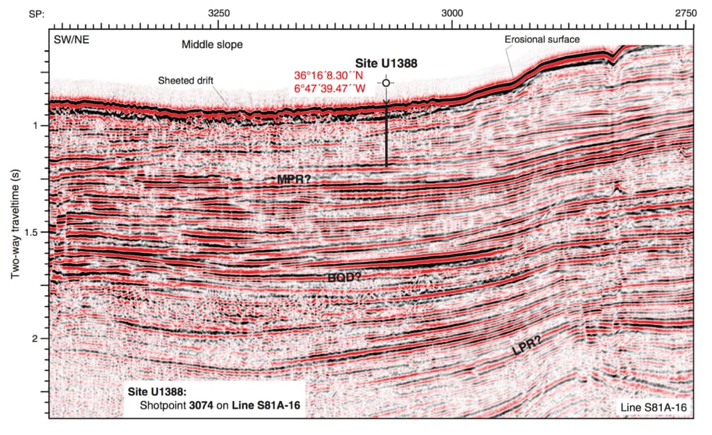
What is a seismic image?
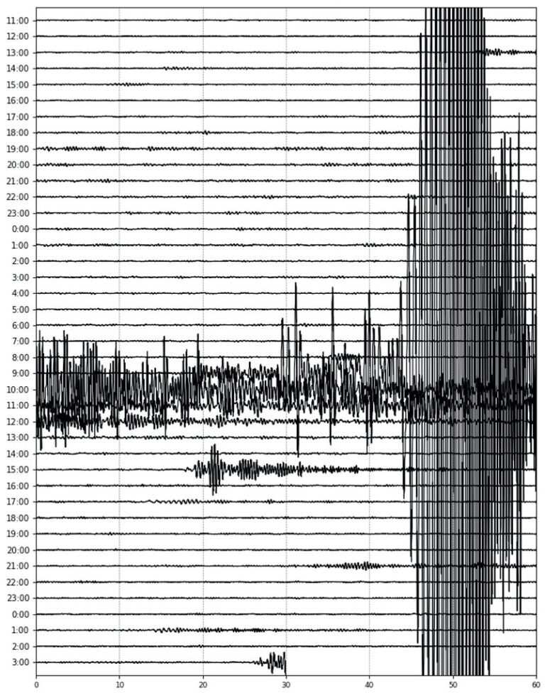
A seismic image is a visual representation of subsurface geological structures created using seismic data. Seismic imaging involves sending sound waves into the ground and recording the echoes bounced back by different rock layers. These echoes are then processed to generate images that depict the distribution of rock types, faults, and other features beneath the Earth’s surface. Seismic images are crucial in various industries such as oil and gas exploration, geothermal energy extraction, and earthquake hazard assessment, providing valuable insights into subsurface conditions and potential resources.
Exploring the intricacies of Deep Learning in Geoscience
At the heart of this exploration lies the inception of deep learning, a concept pioneered by the likes of Google, where neural networks are trained to discern patterns within complex datasets. This intricate process, which involves training algorithms on labeled images and leveraging pattern recognition to generate novel visualizations, has paved the way for transformative applications in various fields. From deciphering images of animals to manipulating cloud formations, deep learning has demonstrated its capacity to uncover hidden insights and unleash creative potentials.
Unraveling the Deep Dream Treatment
One of the intriguing applications of deep learning lies in its application to seismic data – a realm where the complexities of the Earth’s subsurface are encoded within intricate waveforms. By subjecting seismic data to the “deep dream” treatment, researchers have unveiled a surreal world populated by enigmatic creatures reminiscent of reptiles. This unexpected outcome not only highlights the adaptability of deep learning algorithms but also underscores the profound connections between seemingly disparate domains.
Interpreting the Results: Mostly Reptiles?
As we contemplate the implications of these findings, questions inevitably arise regarding the significance of such surreal manifestations. While the prevalence of reptilian forms may appear whimsical, it serves as a poignant reminder of the intricate interplay between data and interpretation. Moreover, it prompts us to consider the broader implications of deep learning in geoscience – from enhancing our understanding of subsurface structures to revolutionizing exploration methodologies.
Reflecting on the Implications
In essence, the marriage of deep learning and geoscience heralds a new era of discovery, where the boundaries of human perception are transcended by the boundless capabilities of artificial intelligence. While challenges abound, ranging from data accessibility to algorithmic complexity, the potential for innovation and insight is unparalleled. By embracing this symbiotic relationship between technology and science, we stand poised to unlock the secrets of our planet in ways previously unimaginable.
Conclusions
The journey into seismic inception offers a glimpse into the transformative power of deep learning in geoscience. As we navigate the intricate landscapes of data and interpretation, we are presented with a wealth of opportunities to redefine our understanding of the Earth’s subsurface. While the road ahead may be fraught with challenges, it is imbued with the promise of discovery and enlightenment. By harnessing the synergies between human ingenuity and artificial intelligence, we embark on a path towards unraveling the mysteries of our planet and charting new frontiers of scientific inquiry.


